
")
")

Viewing Economics (1 - 8 of 8)
-
 Sowing plots for the Tršice area, Czech Republic, in 2015
Sowing plots of the Tršice area (49.543749, 17.424639) that are being cultivated by the MJM company in 2015. The database contains the identification of the crop species, its coverage, steepness of a plot or a link to a relevant farmer's block from the Czech Land Parcel Identification System (LPIS).
PLN0.00 -
 Parcels Austria (samples)
Cadaster land parcels data from Austria
PLN0.00 -
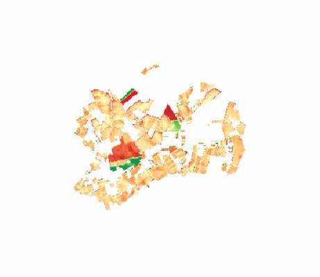
 Open data from the Czech Land Parcel Identification System in 2015
Evidence of the soil on the level of farmer's blocks in the form of explicit geometry and additional attributes. Such evidence is primarily intended for the verification of the subsidies for a farmer. The additional attributes comprises, among others, identification of the crop species, beginning date of the crop species production, steepness etc. The basic scale was set to 1 : 10 000.
PLN1.00 -
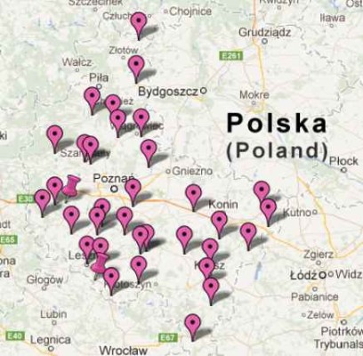
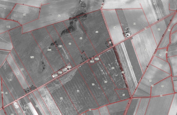 The cadastral data for Poland
According to the "Law of 18 December 2003. On the national register of producers, records of farms and records of applications for payment", the Agency for Restructuring and Modernisation of Agriculture (ARMA), establish and maintain a national registration system of producers, records of farms and records requests for payment.
One of the components of the national system is the Land Parcel Identification System LPIS. The Agency for Restructuring and Modernisation of Agriculture provides the cadastral data in the form of a WMS service to the Polish territory , with the exception of some of the larger cities such. Warsaw, Krakow (approx. 99% of the country).
Shared layer contains information on the approximate boundaries of the parcels, but they can be used only in terms of the approximate identification and spatial localization of the plot and estimate its surface.
These data are the data register of land and buildings in the meaning of the "Regulation of the Minister of Regional Development and Construction of 29 March 2001. on land and buildings.
PLN0.00 -
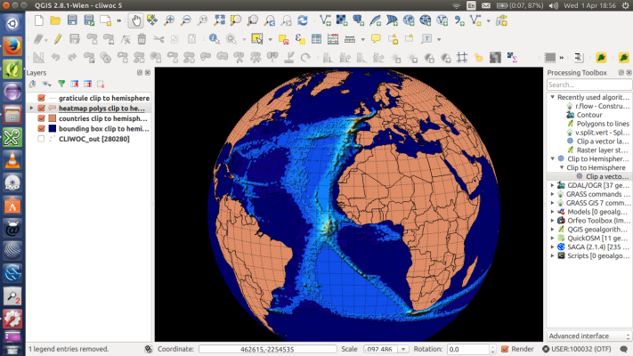
 Dane meteorologiczne
Baza zawiera dane ze stacji meteorologicznym o aktualnym stanie warunków meteorologicznych tj. temperaturę, wilgotność względną powietrza, intensywność opadów, ciśnienie atmosferyczne, prędkość i kierunek wiatru oraz punkt rosy.
Mapa stacji meteo, dane pojawiające się po kliknięciu na daną miejscowość
PLN0.00 -
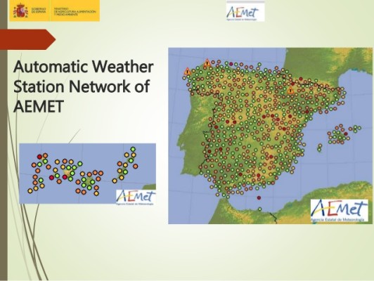 Meteorological Stations of AEMET
List of weather stations of AEMET (Spain's meteorological agency), including an identifier, name, EPSG4326 coordinates and elevation in metres.
PLN0.00 -
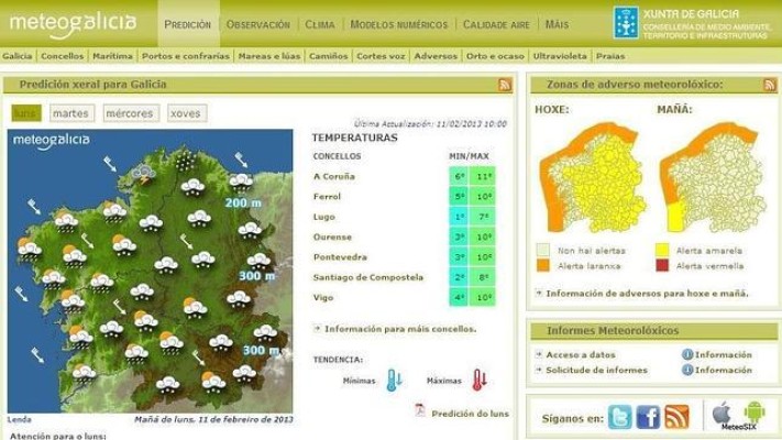 Meteorological Stations of MeteoGalicia
List of weather stations of METEOGALICIA (regional meteorological agency for Galicia), including an identifier, name, EPSG4326 coordinates and elevation in metres.
PLN0.00 -
Meteogalicia_AS_EIRAS_Data
Meteorological data from the weather station of As Eiras, in the province of La Coruña, in the region of Galicia (Spain). The information goes from January, the first, of 2004 to September, the ninth, of 2015.
PLN0.00
- Ratings (0)
- Calculations (1)
- Analyses (4)
- Agricultural Accounting (0)
- Farm Management (3)
- Damage Estimating (0)