According to the "Law of 18 December 2003. On the national register of producers, records of farms and records of applications for payment", the Agency for Restructuring and Modernisation of Agriculture (ARMA), establish and maintain a national registration system of producers, records of farms and records requests for payment.
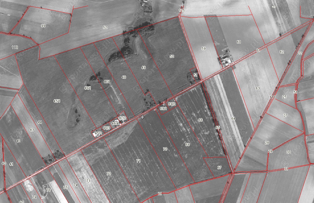
One of the components of the national system is the Land Parcel Identification System LPIS. The Agency for Restructuring and Modernisation of Agriculture provides the cadastral data in the form of a WMS service to the Polish territory , with the exception of some of the larger cities such. Warsaw, Krakow (approx. 99% of the country).
Shared layer contains information on the approximate boundaries of the parcels, but they can be used only in terms of the approximate identification and spatial localization of the plot and estimate its surface.
These data are the data register of land and buildings in the meaning of the "Regulation of the Minister of Regional Development and Construction of 29 March 2001. on land and buildings.

")
")